Showing posts with label Tropical Storm Bill. Show all posts

Wednesday, June 17, 2015

Former (Maybe Still) Tropical Storm Bill Keeps Causing Havoc

On radar, Bill still looked like a pretty well
organized tropical system over Texas early
this morning. (Click on image to make
it bigger and easier to see.)  
I think Dr. Marshall Shepherd is turning out to be right, regarding super wet, super flood produccing Tropical Storm Bill.

He's the co-author of that study I referenced the other day when I was talking about Tropical Storm Bill.

He and co-author Theresa Anderson said that sometimes, a tropical storm moving well inland over the southern Plains from the Gulf of Mexico can maintain, or even strengthen, under certain conditions.

Normally, tropical storms weaken and fall apart once they move inland, but under these rare conditions, they can maintain their strength as they move over very wet ground.

If the ground is wet enough, it can feed a tropical system much like the ocean does.  Marshall calls this the "Brown Ocean Effect" and he speculated before Bill even formed that this could happen with this tropical storm.

Based on the way weather radar, satellite and conditions on the ground, I think the "Brown Ocean Effect" is indeed keeping Bill alive.

Side note: "Brown Ocean Effect" has become the meteorological/media buzzword of the year. All the media outlets have picked up on this. Let's hope it doesn't become the (inaccurate) buzzword for every wet storm going over wet ground. We don't want this to be another polar vortex fad.

Officially, Bill has been downgraded to a tropical depression, with maximum sustained winds of under 39 mph.

But radar images from early this morning showed a pretty symetrical swirl of heavy rain over east central Texas.  Bill still looks very much like a tropical storm. Winds are still relatively hefty.

Early this morning, Mexia, Texas reported winds of 29 mph gusting to 48 mph close to the center of Bill.

Of course, wind was never the main threat from Bill. Flooding was and is.

Bill came ashore yesterday in southeastern Texas with maximum sustained winds of 60 mph. Flash flood warnings were up for parts of Texas this morning, and flood watches were in effect for a bitg swath of the south central United States.

This morning, Bill was moving north through Texas. Cities like Dallas, Oklahoma City and Tulsa are under the gun today, with rainfall in many areas of eastern Texas and Oklahoma in for six inches or more of rain.

This falling on saturated soil will continue the high risk of flooding in these areas.

The remnants of Bill will continue on into the soggy Ohio Valley, threatening flooding there.

And, for the rest of today, at least, it will be interesting to see how the "Brown Ocean Effect" will influence the strength and flooding destruction potential of Bill.

Monday, June 15, 2015

More Big Flooding, And Will Tropical Storm Make It Worse?

What might become Tropical Storm Bill
forming over the Gulf of Mexico Sunday. 
Flood and flash flood warnings and watches were scattered across different parts of the nation this morning as a wet early summer continues in many areas.

It's about to get worse, and some place - like Texas and Oklahoma - that suffered enormous floods last month are going to get slammed again.

There's two main ingredients to this latest bout of flooding. One is a strong ridge of high pressure causing a torrid heat wave in the southeastern United States.

That high pressure is steering lots of moisture from the Gulf of Mexico toward the Texas and Louisiana coast,  up into the southern Plains, then into the Ohio Valley.

Worse, a tropical storm is trying to form in the western Gulf of Mexico. If it forms, they'll name it Bill. 

Hi, Bill.

Bill will never be a powerhouse in terms of wind, but boy will it bring a lot of rain! That's true even if it doesn't get strong enough to get the name Bill.

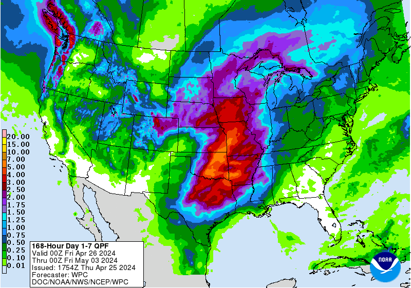
A great huge arc from eastern Texas, on up into Missouri, the Ohio Valley then east to maybe the New York City area, New Jersey and southern New England could get at least four to eight inches of rain in the next week. Locally more, even, especially the more south you go.

Since most of these areas are already quite wet, the flooding over the next several days could get quite intense. People in this great huge arc of predicted wetness might want to build an ark.

Here's a geeky, interesting thing about would-be Tropical Storm Bill.  Tropical systems and hurricanes rely upon warm ocean water to maintain their strength. Virtually always, tropical storms and hurricanes weaken quickly once they get on to land, largely because the friction of the land slows the winds, and the ready supply of moisture from the ocean isn't there anymore.

(However, tropical storms remnants can cause heavy rain and flooding far inland, well after the winds have died down.)

In would-be Tropical Storm Bill's case, there's a chance it could maintain its strength well inland into Texas and Oklahoma.

This has happened at least once before. In 2007, Tropical Storm Erin moved ashore in the western Gulf of Mexico and quickly weakened once it got over land, as most tropical storms do.

Once it got into Oklahoma, though, favorable upper level conditions helped maintain it. Also, the flat ground of Oklahoma was very wet from previous rainfall. Erin pretty much redeveloped into a tropical storm, complete with winds of 60 mph, spiral rainbands and an eye characteristic of tropical storms and hurricanes.

The National Hurricane Center called it just a low pressure system at this point, but it had all the characteristics of a tropical storm.

Atmospheric scientists Theresa Anderson and Marshall Shepherd studied this, and said wet, flat earth can mimic the ocean's rich moisture source  in some cases to encourage inland tropical storms like Erin. They called this the "Brown Ocean Effect."

Since Texas and Oklahoma are so wet right now, maybe Bill will become or maintain itself as a tropical storm in the southern Plains like Erin did eight years ago?

Maybe.  If the "Brown Ocean Effect" helps Bill maintain its strength once it's well inland, that would likely worsen the flooding that's already almost a sure bet.